

Field work
Western Interior Seaway · Southern Utah
Updip-to-downdip play element prediction and linkage
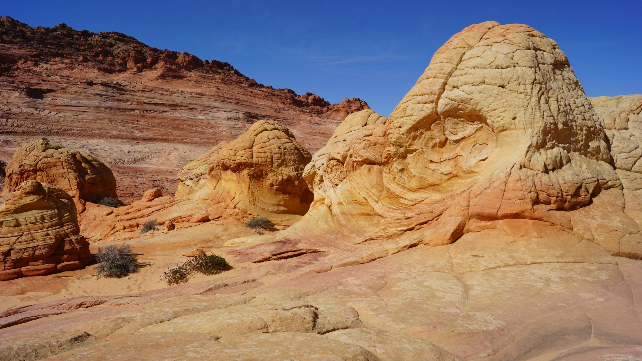
Kanab, Utah · Grand Staircase — a Cenomanian–Turonian transect from updip fluvial systems through mid-dip marine sand and shale into downdip organic- and biogenic-rich facies, tied together with biostratigraphy and research boreholes. Built for conventional and unconventional play teams.
- Wed–Sat, Apr 21–24 2027 · Field work only. Guests welcome.
- About 4 field days, five modules along one regional dip transect: fluvial → shallow-water → detrital mud-prone → organic- and biogenic-rich → basin-scale architecture.
Flight averages are a rough guide, not a quote, shown in US dollars, British pounds or euros depending on where you are. Estimates are round trips from Houston (IAH) and London Heathrow (LHR) to Salt Lake City (SLC). Flights and other travel to and from the course start are not included.
Technical
One seaway, one dip transect · Cenomanian–Turonian
This field course integrates Cenomanian–Turonian outcrops and core across the Cretaceous Western Interior Seaway in southern Utah. Using the sequence stratigraphic method, integrated with biostratigraphic data, we trace updip fluvial systems into mid-dip clastic marine sand and shale successions, and then, using research boreholes, into downdip organic- and biogenic-rich facies.
The goal is practical: make play element predictions and linkages across plays and prospects in shallow-water epeiric (inland) seaways, for both conventional and unconventional petroleum systems, with direct application to petroleum basins in Utah, Colorado and Wyoming.
The world-class exposures of the Grand Staircase have a long history of geologic investigation. We review that history as context, then work the rocks along a regional depositional-dip trend from proximal to distal environments.
What you work
- The Cretaceous Western Interior Seaway and its application to petroleum basins in Utah, Colorado and Wyoming
- Classic fluvial and shallow-marine facies, strata and parasequence architecture in outcrop and well-log data
- How depositional environments vary from proximal to distal locations, and basin-scale play element prediction
- Mudstone seal, source-rock and unconventional reservoir attributes as a function of depositional setting
- Biostratigraphy and research boreholes to link outcrops along an entire basin transect
Five problems this course solves
- Reservoir, seal and source are often risked by different people on different data, so updip and downdip play elements are never tied into one system.Link updip fluvial reservoirs, mid-dip marine sand–shale successions and downdip organic-rich source facies into one dip-oriented play element framework you can carry back to your own basin.
- Fluvial and shallow-marine reservoir presence and stacking are hard to predict from sparse wells.Characterize fluvial and shallow-marine facies, strata and parasequence architecture in outcrop and well-log data, and use them to predict reservoir presence and stacking away from control.
- Mudstones get lumped together as “shale”, hiding the difference between a seal, a source rock and an unconventional reservoir.Discriminate detrital mud-prone seal facies from organic- and biogenic-rich source and unconventional reservoir facies as a function of depositional setting.
- Source-rock and unconventional reservoir quality change along dip through the Cenomanian–Turonian interval, and the controls are rarely seen in one transect.Explain the controls on source-rock and unconventional reservoir deposition and diagenesis across the Cenomanian–Turonian, including the Oceanic Anoxic Event 2 (OAE2) interval.
- Basin-wide correlations break down where lithology changes laterally and the same formation name is applied to rocks of different ages.Correlate outcrops, research boreholes and biostratigraphic data along an entire basin transect with the sequence stratigraphic method to build a time-based (chronostratigraphic) framework.
Five modules across four field days along the dip transect
- Module 1 · UpdipFluvial depositional settingOutcrops around Cedar City, Big Hill and Maple Canyon
- Module 2Shallow-water depositional settingOutcrops around Cedar Canyon and North Fork
- Module 3Detrital mud-prone depositional settingOutcrops around the Paria River and Big Water
- Module 4 · DowndipOrganic- and biogenic-rich depositional settingOutcrops around Sit Down Bench and Croton Canyon
- Module 5 · SynthesisBasin-scale architectureBiostratigraphic data and research boreholes integrate the outcrops along an entire basin transect
Modules run updip to downdip, then basin-scale synthesis, across four field days. The day-by-day plan is confirmed in writing before the course; weather and access may reorder stops. Stop-level detail is on your participant website.
Built for play-based exploration and resource teams
- Exploration geoscientists Linking reservoir, seal and source play elements from fluvial to marine to organic-rich facies.
- Unconventional / resource-play geologists Need the depositional controls on mudstone source-rock and reservoir quality.
- Stratigraphers and correlators Building sequence- and biostratigraphic frameworks across a whole basin.
- Reservoir and completion engineers Want the facies and stacking patterns behind the reservoir and mudstone units they develop.
- Geophysicists Tying basin-scale stratigraphic architecture to well-log and borehole control.
- Company training leads Interested in the April dates or a private in-house course with the same instructors.
Not for
- Tourists / general outdoors trips: this is an industry subsurface course, not a scenic geology tour.
- Undergraduate field camp: pitched to working geoscientists and engineers.
- Anyone unable to walk on uneven desert and canyon ground with the group (see Safety).
Field staff
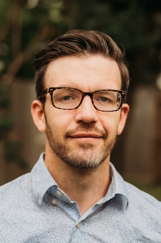
Dr. Brandon Harper · Instructor
Exploration Geoscientist Consultant, ACT-GEO
More than 15 years of experience in industry and academic geoscience exploration, development and research. Explorationist, project supervisor and instructor for ACT-GEO and ConocoPhillips. PhD, Rice University, where he studied the interactions of barrier reef systems with siliciclastic shelf margins in response to cyclical changes in sea level at the shelf-to-basin scale. Member of SEPM (Society for Sedimentary Geology) and AAPG (American Association of Petroleum Geologists).

Dr. Rene Jonk · Instructor
Director, ACT-GEO
More than 25 years of experience in geoscience characterization for exploration, development and research, including technical advisor and leadership roles with ExxonMobil and Apache. PhD in Petroleum Geology, University of Aberdeen, where he studied remobilized deep-water depositional systems; honorary professor at the University of Aberdeen. Active member of SEPM, the European Association of Geoscientists and Engineers (EAGE) and the Geological Society of London.
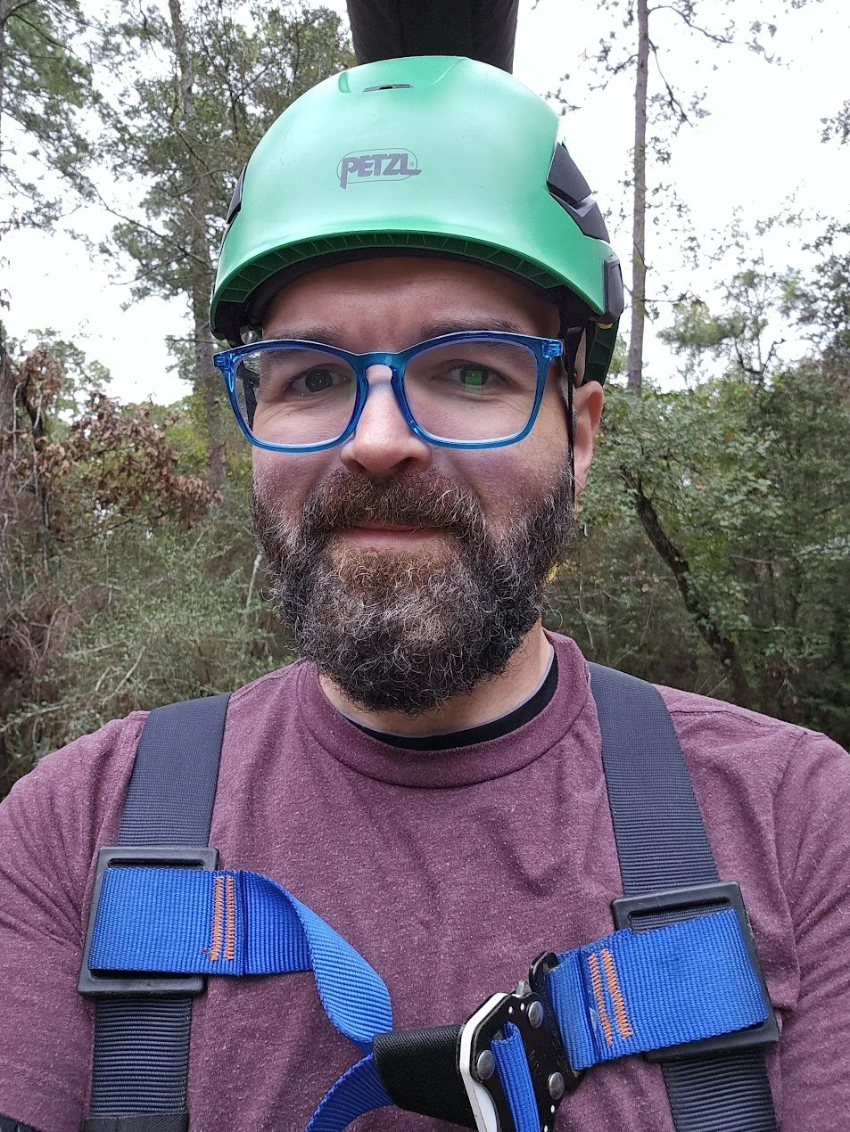
Christopher Oswalt · Founder
Geology Field School founder · Nationally Registered Emergency Medical Technician (EMT)
More than two decades in outdoor education and wilderness risk management. For six years he was Global Field Safety Director for Nautilus, training field staff, auditing courses in the field and overseeing safety protocols and operations for a worldwide portfolio of field courses. In 2019 he founded Geology Field School to run the highest-quality field courses possible. Field safety staff run every course; Christopher attends when his schedule allows.
Why this course
One basin, one dip transect
Southern Utah lets you walk a single Cenomanian–Turonian seaway from updip fluvial systems to downdip organic-rich facies, so play elements are linked on the rocks instead of risked separately.
Instructors own the science
Brandon Harper and Rene Jonk of ACT-GEO lead the geoscience and bring subsurface data and examples to the outcrops (Field staff); Geology Field School runs safety, logistics and equipment.
Drone models before, during and after
Drone models at reservoir and seismic scale support the field days and stay available on your course website (3D models).
Safety
Field safety and readiness
How we run the course
- Wilderness-medical trained field staff, Wilderness First Responder (WFR) level or higher, on the course (field staff)
- Founded on the science of wilderness risk management and outdoor experience-based education
- Cutting-edge technology and the best safety equipment we can find that fits the purpose
- Desert and canyon operating procedures for Grand Staircase field days
- Heat, ultraviolet (UV), wind and dry-air awareness; sun protection and hydration every day
- Vests and helmets where directed (roadside stops, steep approaches)
- Hiking footwear mandatory
Fitness / readiness
Medium physical demand: walking with the group on uneven desert and canyon ground, with short steep sections and elevation change.
Who should not: anyone unable to walk on uneven, rocky ground with the group for most of a field day.
Elevation / field conditions
Field days span a wide elevation range, from desert lowlands near Big Water to high canyon country east of Cedar City. Late-April conditions can swing from warm and sunny to cold, windy or wet in a single day. Hat, sun protection, warm layers, water and boots every day.
Main hazards
- Driving on highways and unpaved access roads
- Slips and falls on uneven rock, ledges, scree and steep approaches
- Heat, cold, UV, dry air and elevation
- Spring wind and rapid weather shifts; flash-flood awareness in washes and canyons
- Desert flora and fauna: stay on directed routes
Logistics
Travel, bases, and the package
Required travel
Participants book their own flights.
- The meeting point and start time for Apr 21 2027 are confirmed in writing after you register interest. Please wait for that confirmation before booking.
- Plan your return only after the final field day ends on Sat Apr 24 2027, allowing for drive time back to your airport.
The first session covers the safety briefing and the basin overview that every later module builds on, so plan to arrive on time.
Flight estimates
Average round-trip fares from Houston (IAH) and London Heathrow (LHR) to Salt Lake City International (SLC) are shown in the course summary as a guide. Airfare is not included, and we confirm the best arrival airport for the April dates in writing.
Private in-house courses: we plan arrival logistics around your team’s home base.
The course is centred on Kanab, Utah, at the foot of the Grand Staircase, with field modules spanning the transect from the Cedar City area (updip) to Big Water and the Paria River country (downdip). Overnight base(s) are confirmed in writing before the course.
Course location
Kanab, Utah
Small southern Utah town at the foot of the Grand Staircase, central to the updip-to-downdip transect.
Updip end of the transect
Cedar City area
Fluvial and shallow-water modules work outcrops around Cedar City, Big Hill, Maple Canyon, Cedar Canyon and North Fork.
Bring
- Hiking footwear (mandatory)
- Sun hat, sunglasses, sunscreen
- Warm layers and a wind / rain shell for cold mornings and higher elevations
- Refillable water bottles
- Travel insurance (recommended)
We provide
- Course-specific field safety equipment (vests and helmets where directed)
Full detail in Included & payment.
Course website, 3D models, technical materials and field tools open 1 month before the course start date (about Mar 21 2027 for the Apr 21 start), with 3 months of website access.
Apr 21–24 2027
Field work only. Guests welcome.
Register interest and we’ll reply in writing with what the April course includes, costs and logistics.
Private in-house course
Quoted for your team
Your dates, your group, the same instructors and safety standards. Use In-house inquiry for a written quote.
Included in the course
- Instruction with Brandon Harper and Rene Jonk (ACT-GEO)
- Field safety and logistics by Geology Field School
- Course-specific field safety equipment
- Access to drone-acquired 3D outcrop models
- Participant course website and digital field kit (timing in access note above)
- Certificate of attendance listing your instructional contact hours
Not included
- Airfare to and from the course start
- Personal field clothing and hiking boots
- Travel insurance (recommended)
Accounts payable / procurement
- Company card and purchase order (PO) accepted
- Vendor pack on request (W-9 tax form, certificate of insurance, sample invoice)
- Cancellation terms
What you get
Your digital field kit
Your course website, 3D models and technical materials open 1 month before the start date (about Mar 21 2027), with 3 months of website access.
- Course app
- Participant course website
- Digital field atlas
- Digital field guide
- Drone 3D outcrop models
- Readings and videos
01Course app & course website
02Drone 3D outcrop models
Reservoir and seismic scale
ACT-GEO and Geology Field School field locations are supported by drone models at reservoir and seismic scale, which you can use before, during and after the course.
Applied to the subsurface
We bring subsurface data and examples to the outcrops, and include reservoir and seismic modelling applications of the outcrop models so the analogs carry into your own data.
On your course website
Models open with the participant kit, 1 month before the start date, alongside the digital field atlas of the field stops.
03Certificate of attendance
Every participant receives a Geology Field School certificate of attendance that documents instructional contact hours for Professional Geologist (PG) license renewal and professional development hour (PDH) reporting. The 4-day course on Apr 21–24 2027 documents about 32 instructional contact hours (4 field days × about 8 hours, excluding travel and meals).
One instructional hour can be recorded as one PDH on your own continuing-education log. Use the certificate with your state board or employer PDH process.

FAQ
Common questions
Who should not register: fit and fitness
Not for tourists, undergraduate field camp, or anyone unable to walk on uneven desert and canyon ground with the group. See Who it’s for and Safety.
What does “Field work only. Guests welcome.” mean for Apr 21–24 2027?
The April 2027 dates are listed as field work, and guests are welcome to join. Use Register interest and we’ll reply in writing with what the course includes, costs and logistics.
Can we run this privately for our team?
Yes. A private in-house course uses the same instructors and safety standards on your dates, for 6–18 people, with typical lead time of 4–8 weeks. Use In-house inquiry.
Flights
You book your own flights. Average fares to Salt Lake City (SLC) are shown above as a guide; we confirm the best arrival airport and meeting point in writing. See Travel.
Certificate / professional development hours
About 32 instructional contact hours for the 4-day course (4 field days × about 8 hours, excluding travel and meals). Your certificate documents them for PG and PDH reporting; see Certificate.
When do course materials open?
One month before the start date (about Mar 21 2027), with 3 months of course-website access: readings, digital field atlas, digital field guide and 3D models.
After Register interest: next step
We reply by email with details for the April dates. Participant credentials follow when the kit opens.
Cancellation
See geologyfieldschool.com/cancellation for current terms.
Kanab, UT · Apr 21–24 2027
Field work only. Guests welcome.
We reply in writing with details for the April dates.
In-house
Private company course
Same safety standards and logistics. Your dates. 6–18 people. Your play and asset questions. Typical lead time 4–8 weeks.
Other industry field schools
Same safety standards and logistics across every course: West Texas, Inyan Kara, San Diego, Scotland, Rock Springs, Aínsa, Ireland and more.