
Geologic Maps Foundation
Geo-Hikes
Learn a little geology while hiking and backpacking. Open social geology trips led by Thomas L. Davis through Geologic Maps Foundation — for hikers, geologists, geology students, and anyone eager to read the landscape and a geologic map in the field.
Hosted on the Geology Field School site in partnership with Geologic Maps Foundation, a nonprofit educational organization.

Who it is for
Hikers, geologists, and students
You do not need to be a geologist. Eagerness to learn basic geology and map reading is required.
On the trail
Join day hikes and longer backpacking trips where the rocks, folds, and landforms become the classroom — scenic western United States country with room to ask questions.
In the outcrop
Walk structure and stratigraphy with a California Professional Geologist who has mapped, published, and consulted worldwide — social pace, field focus, no industry tuition.
Learning the map
Build map-reading skills and basic geologic intuition outdoors. Bring curiosity; leave with a clearer eye for how landscapes record geologic history.
How it works
Meetup, trail, and map
Register on Meetup
Upcoming trips, photos, and RSVPs live on the Geo-Hikes Meetup group. That is where you view dates and register.
Mostly free
Most events are free. A few longer trips are fundraisers with a tax-deductible donation to Geologic Maps Foundation, a 501(c)(3) nonprofit educational organization.
Western United States
Trips favor scenic and remote western United States country — places where geology is written large in the landscape.
Map reading in the field
Expect hands-on geologic map reading and basic geology on the trail — not a lecture hall, and not an industry field course.
About
Open geology on the trail
Geo-Hikes is a social geology offering from Geologic Maps Foundation. Thomas L. Davis founded and leads the program so anyone with a sense of knowledge and adventure can learn geology while hiking and backpacking. Geology Field School hosts this public page so visitors can find the program easily alongside — but separate from — industry field courses.
Optional: customized professional or company field trips can be arranged through Geologic Maps Foundation — geologicmapsfoundation@gmail.com. Separate from Geology Field School industry course pricing.
Leader
Meet Thom
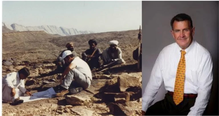
Thomas L. Davis, PhD
Davis is a California State registered geologist and an author on geologic publications especially structural geology and petroleum potential of California. He has worked as a consultant and researcher worldwide for public and private energy companies, national oil companies, the United States Geological Survey, Southern California Gas Company, and the Playa Vista development in the Los Angeles basin.
Formerly a partner in Davis & Namson Consulting Geologists; earlier with Atlantic-Richfield Corporation. He founded and leads Geo-Hikes through Geologic Maps Foundation.
Trips
View trips and register
Meetup is the calendar
Upcoming Geo-Hikes events, photos from past trips, and registration all live on Meetup. Use the correct group link below (not older broken URLs).
A few longer trips are fundraisers. Donations to Geologic Maps Foundation (501(c)(3)) may be tax-deductible — details appear with those Meetup listings.
From the field
Videos
Short clips from Geo-Hikes and related field days with Thomas L. Davis.
From the trail
Top of Frazier Mountain, southern California
Santa Cruz and Santa Rosa Islands geologic tour
Top of Telescope Peak
Resources
Free geologic maps
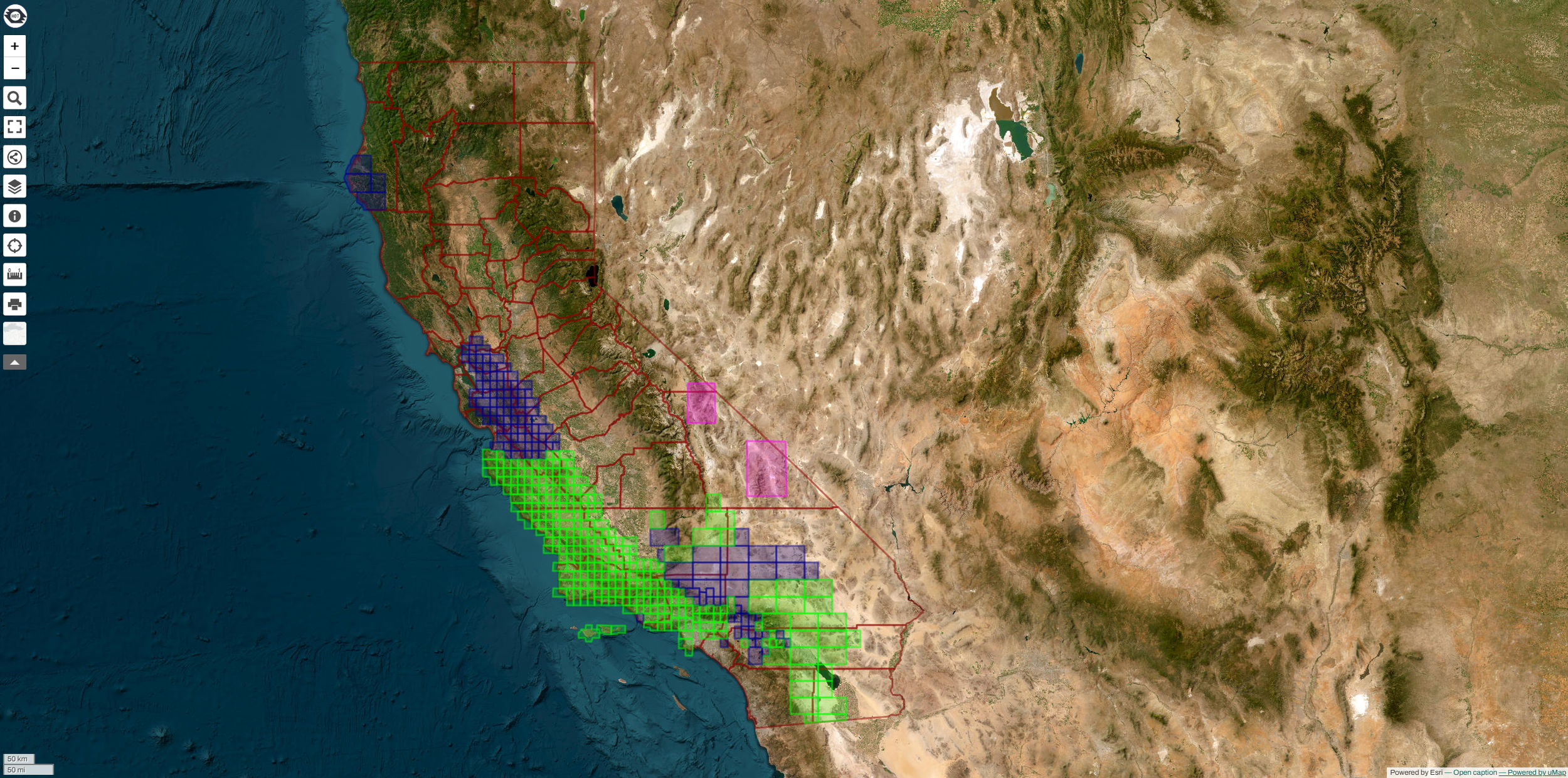
Geologic Maps Foundation publishes free geologic maps for education and public use. Browse the library, then bring a map on your next hike.
Looking for industry field courses? See Industry Field Courses — open-enrollment and company formats from Geology Field School (separate from Geo-Hikes).