Overall Course Quality - 5.71/6
⭐⭐⭐⭐⭐➕
Technical Knowledge of Instructor - 5.86/6
⭐⭐⭐⭐⭐➕
Quality of Course Manual and exercises 5.93/6
⭐⭐⭐⭐⭐➕
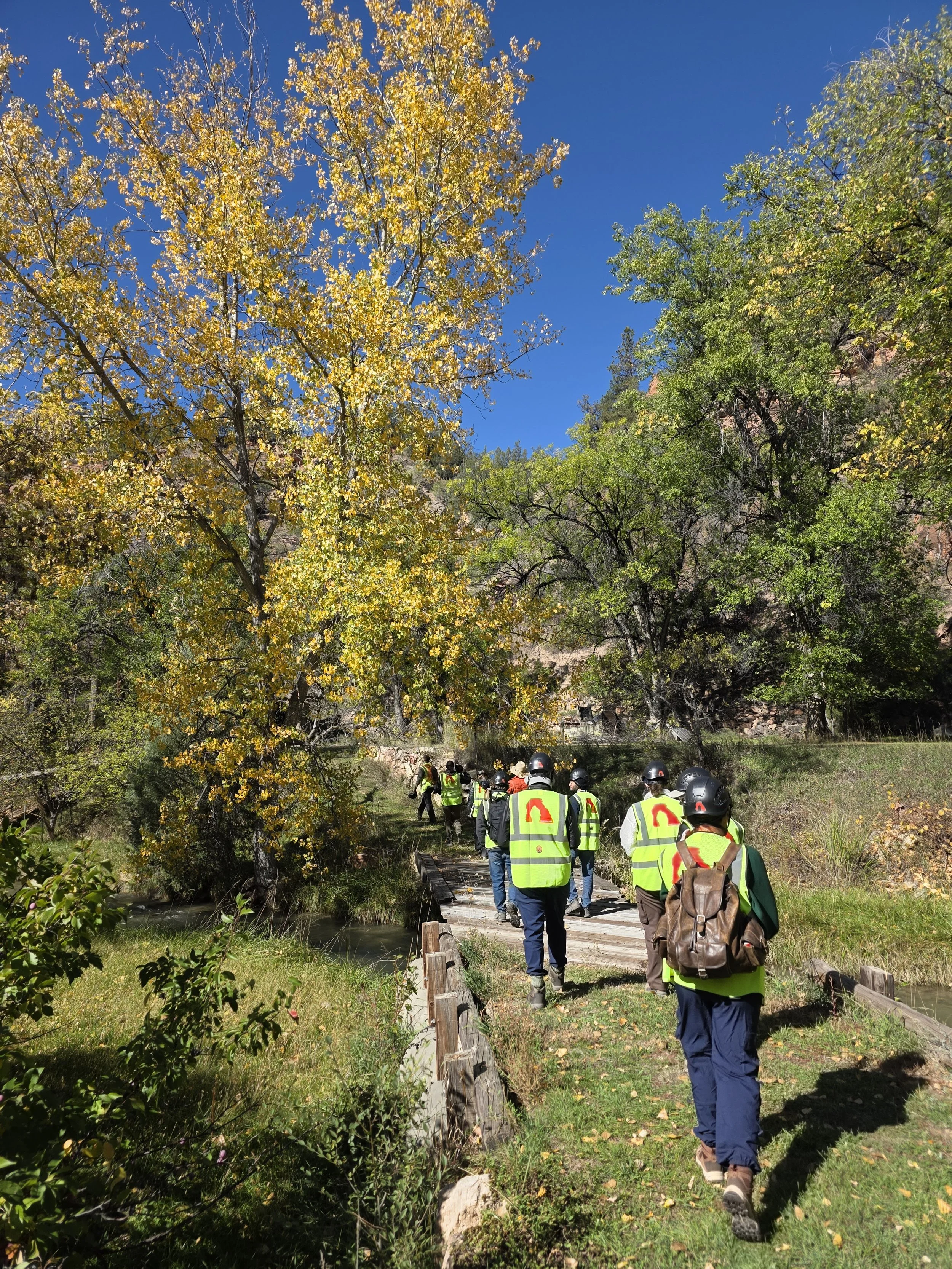
Field Risk Management and Safety 5.86/6
⭐⭐⭐⭐⭐➕
Overall Course Quality - 5.71/6 ⭐⭐⭐⭐⭐➕ Technical Knowledge of Instructor - 5.86/6 ⭐⭐⭐⭐⭐➕ Quality of Course Manual and exercises 5.93/6 ⭐⭐⭐⭐⭐➕ Field Risk Management and Safety 5.86/6 ⭐⭐⭐⭐⭐➕
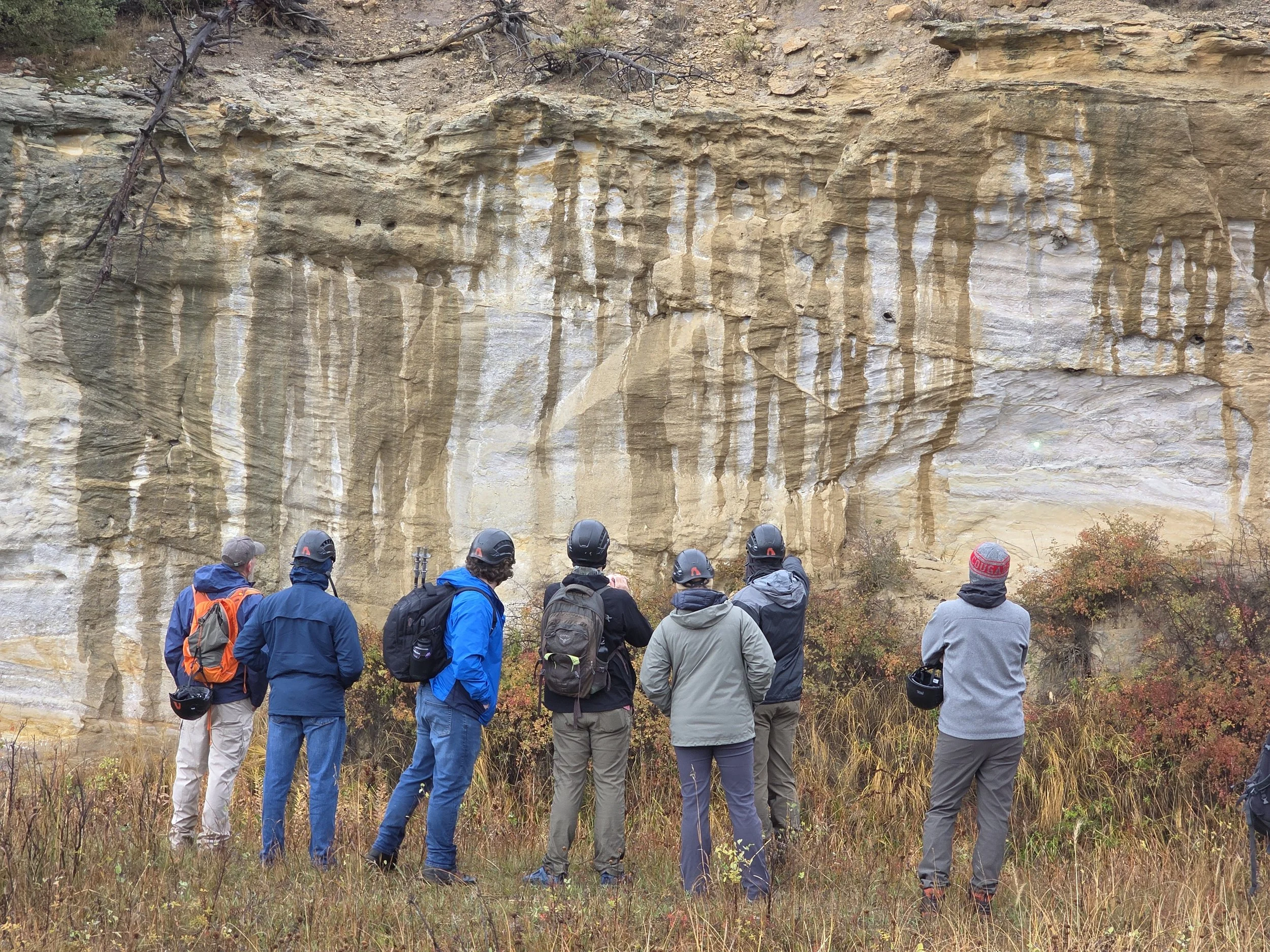
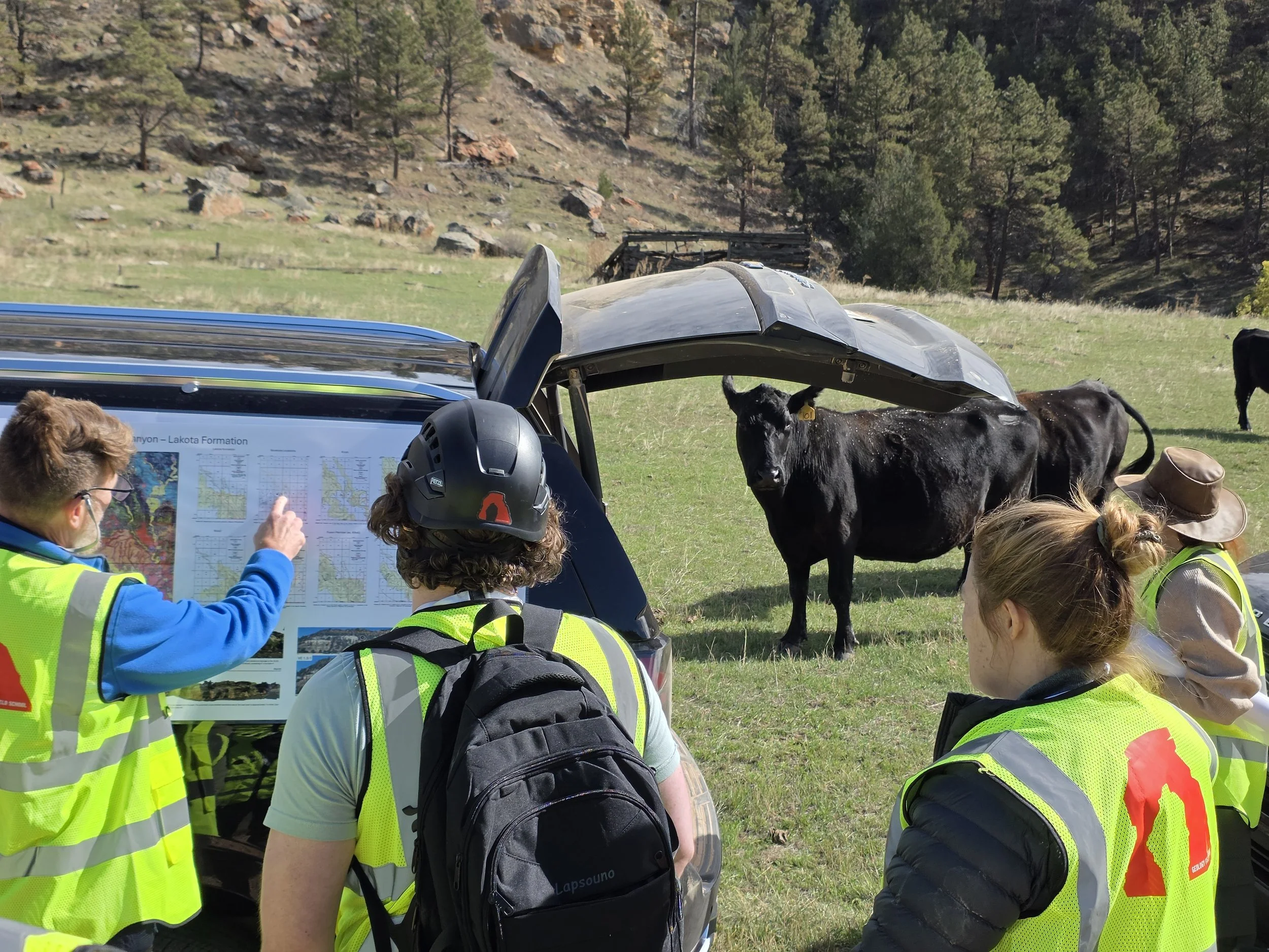
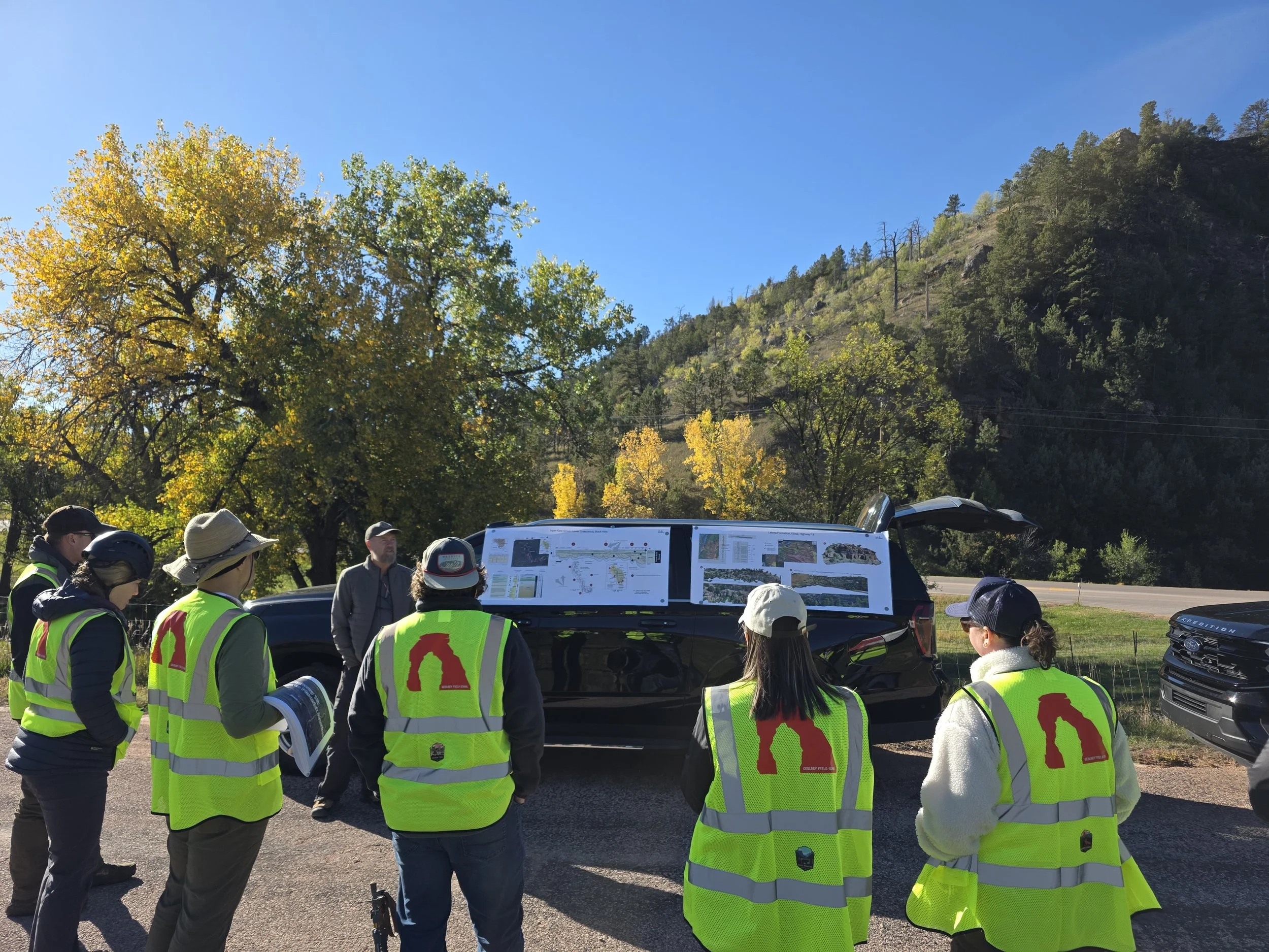
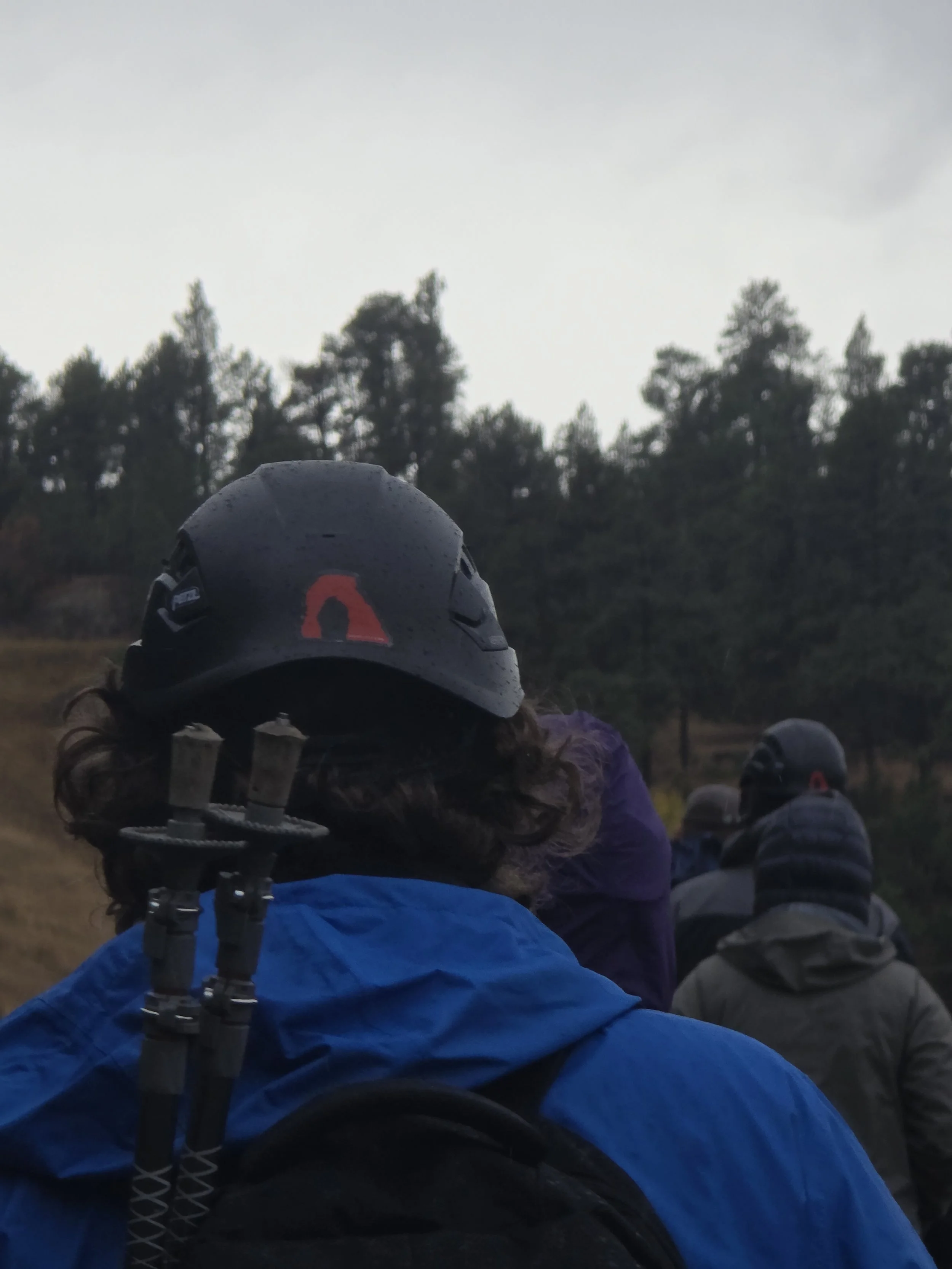
“Great care for safety, Chris was very serious about safety which I greatly appreciated. Vests and helmets were smart and needed and then the constant reminders to be safe made it even better.”
“Loved Rick’s passion, he made the course so much more enjoyable which with teaching methods and personality.”
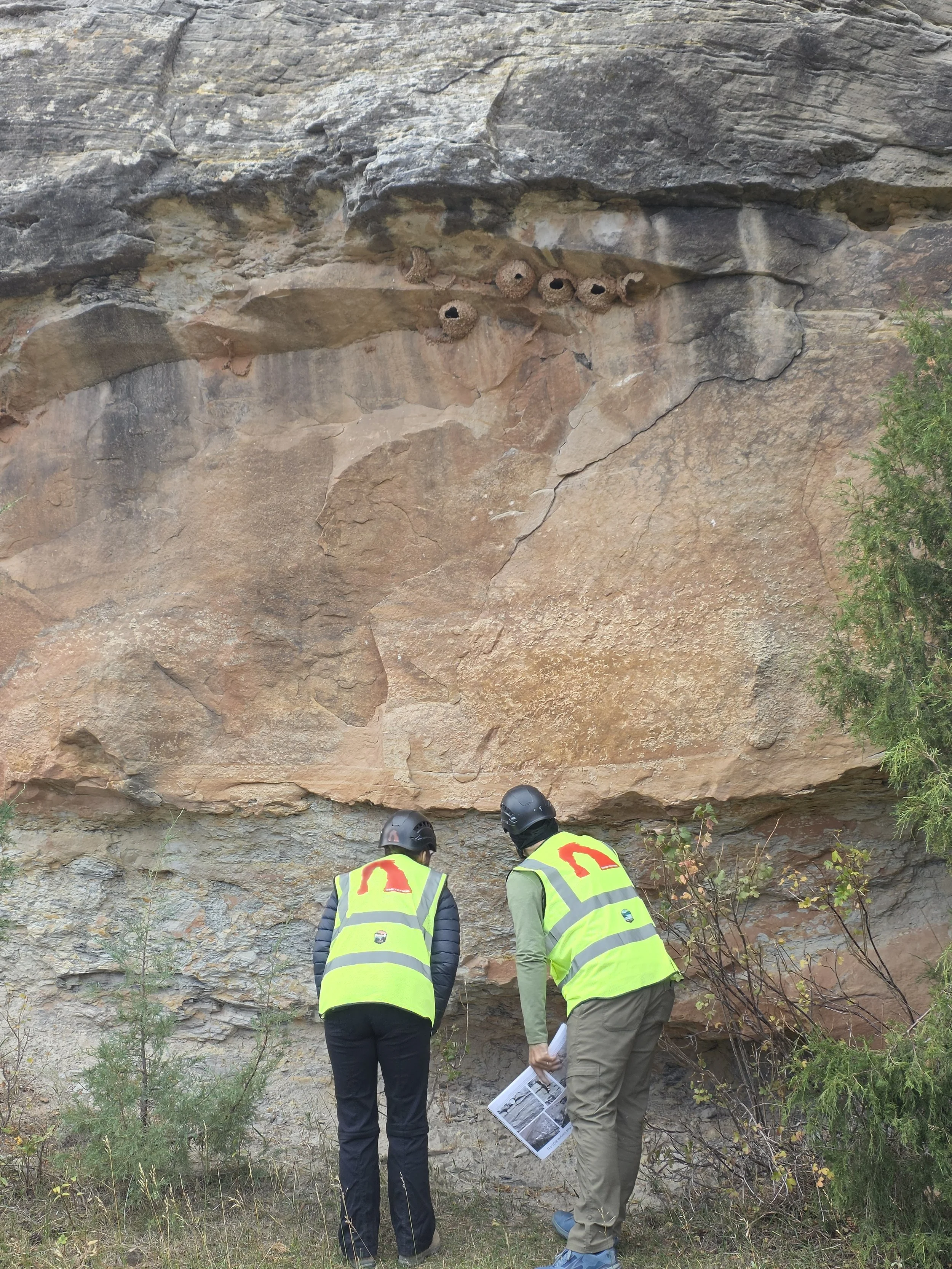
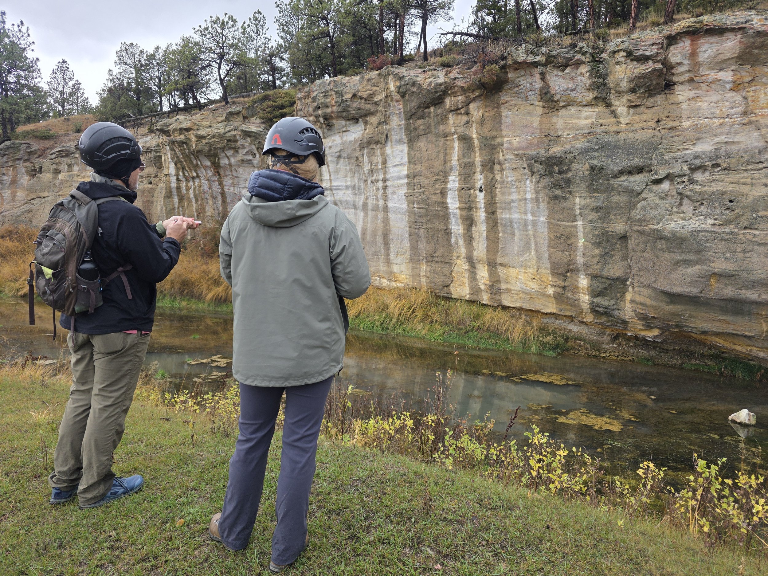
“The technical aspect was excellent. Loved the approach starting with observations and then building on them. Also loved being able to see the edges of the systems. Being able to work proximal to distal was key.”
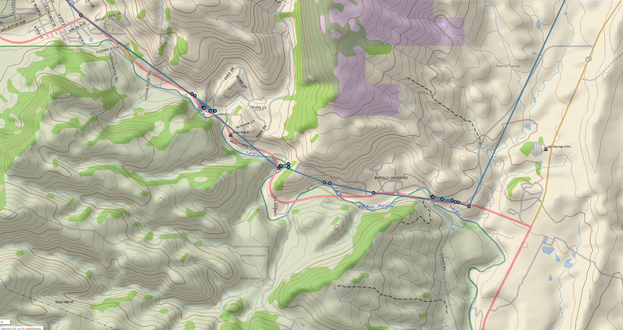
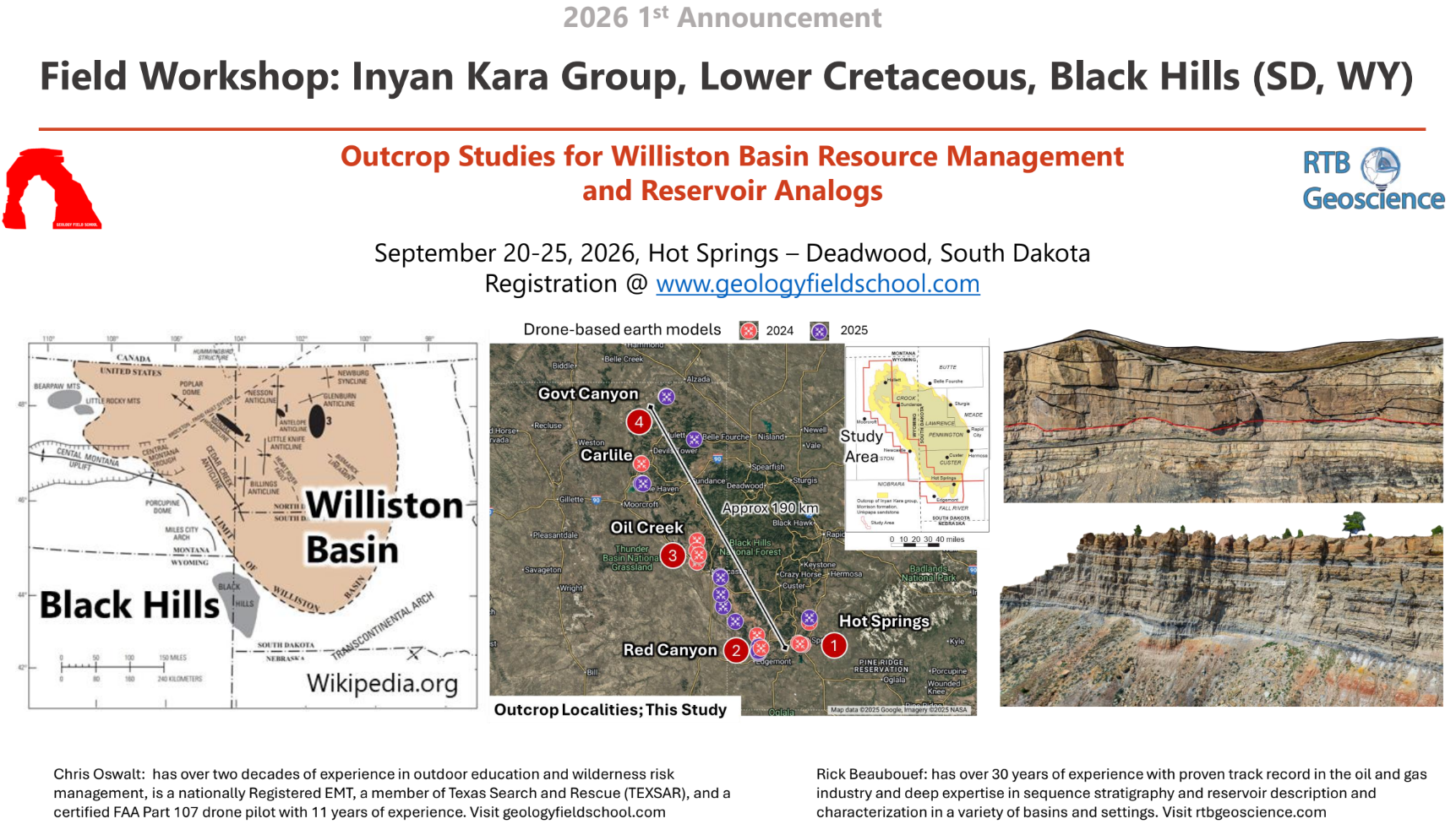
Course outline and itinerary

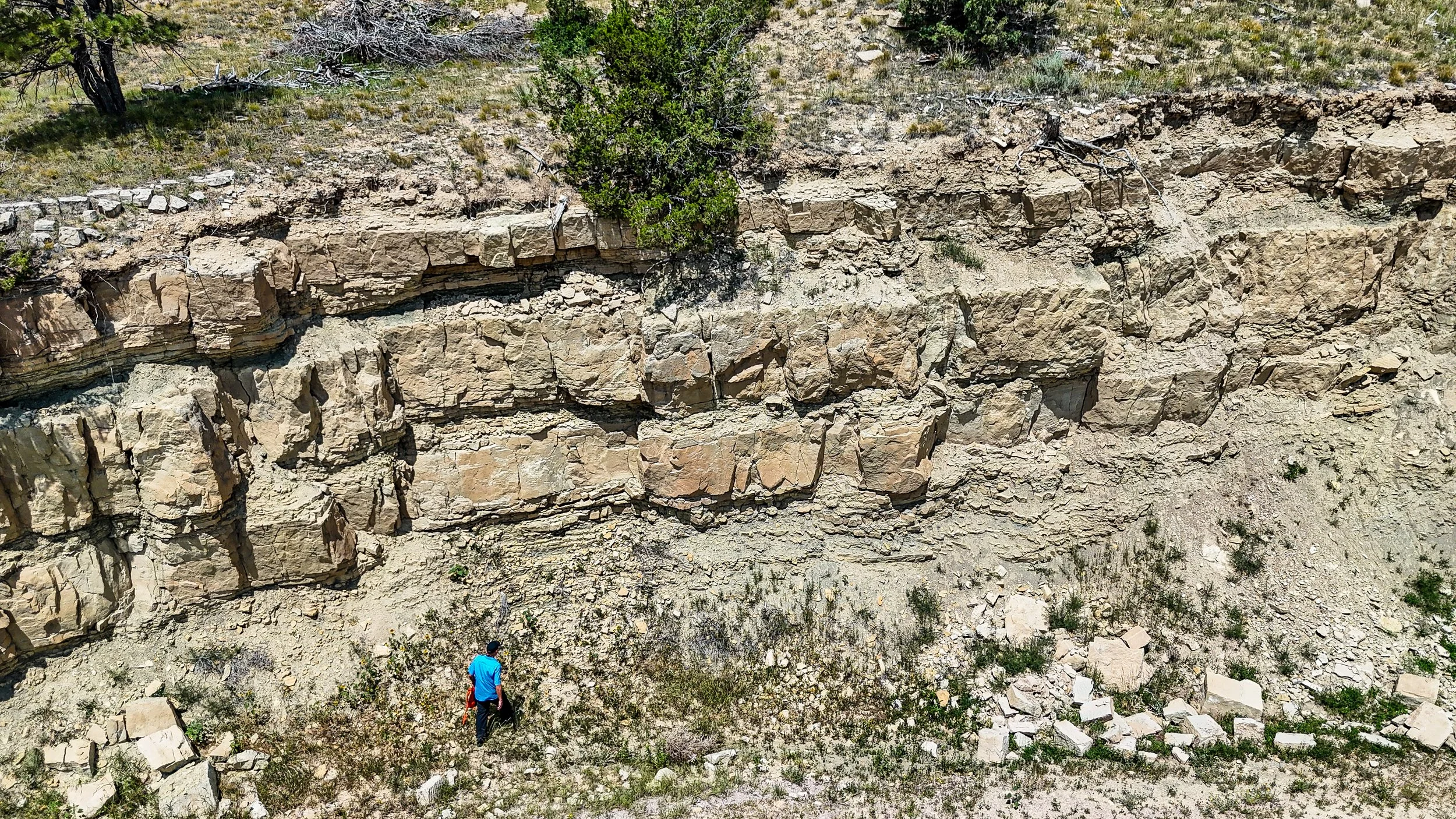
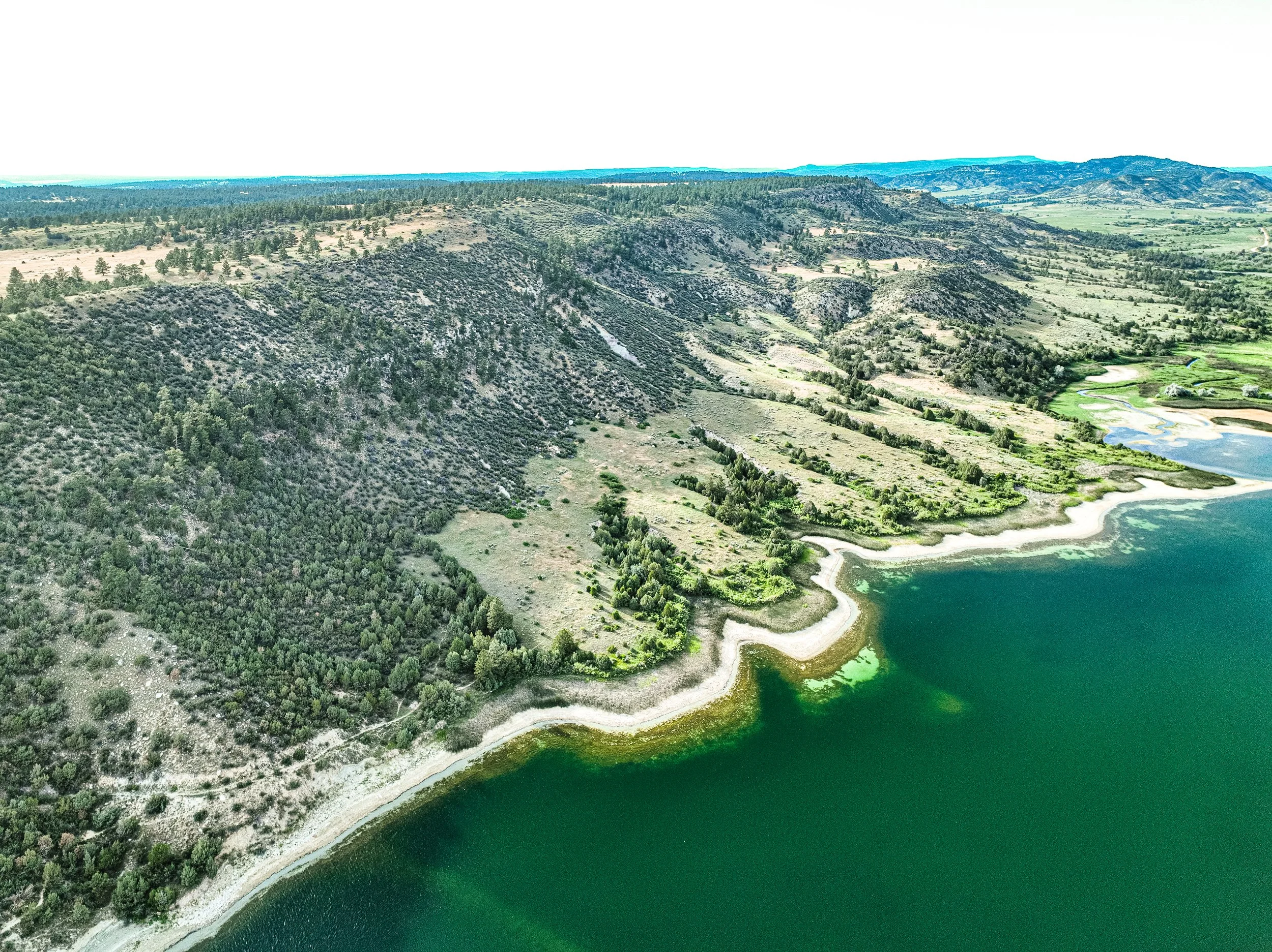
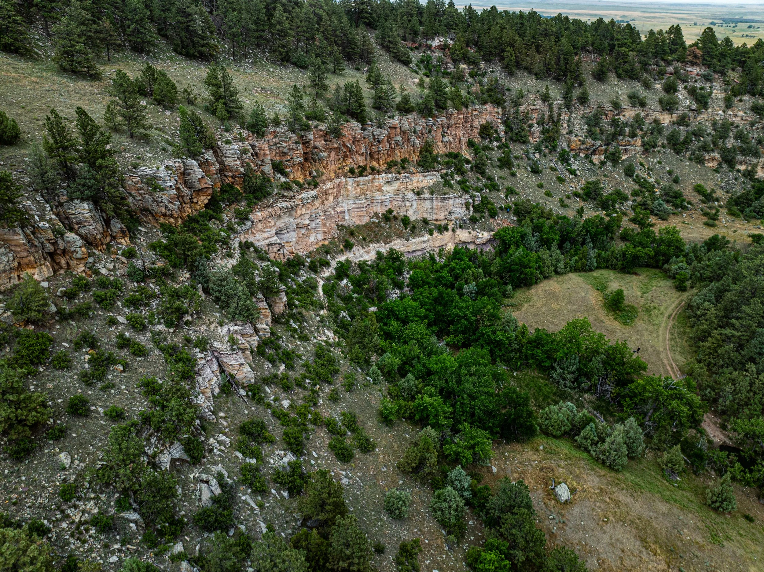
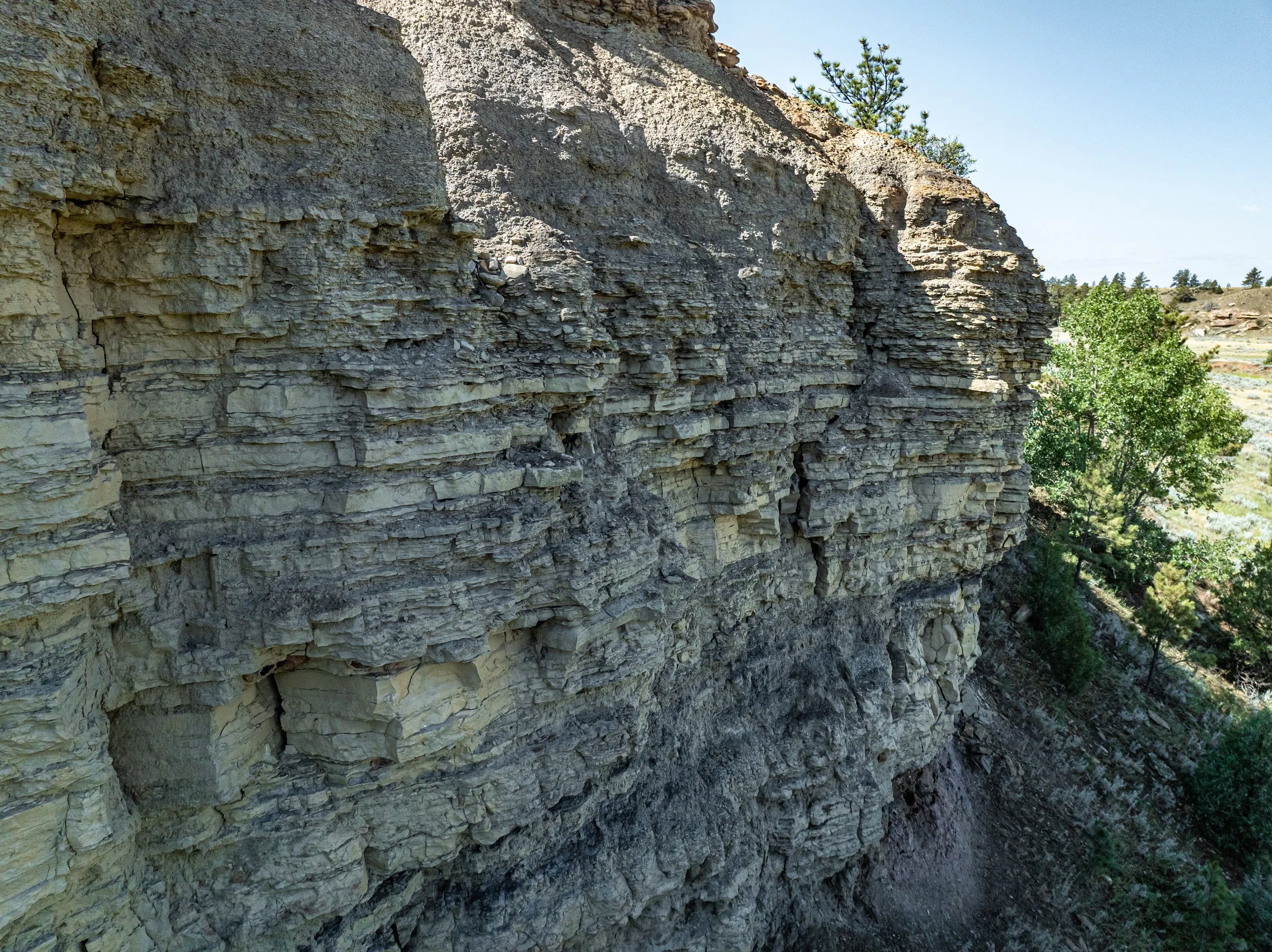
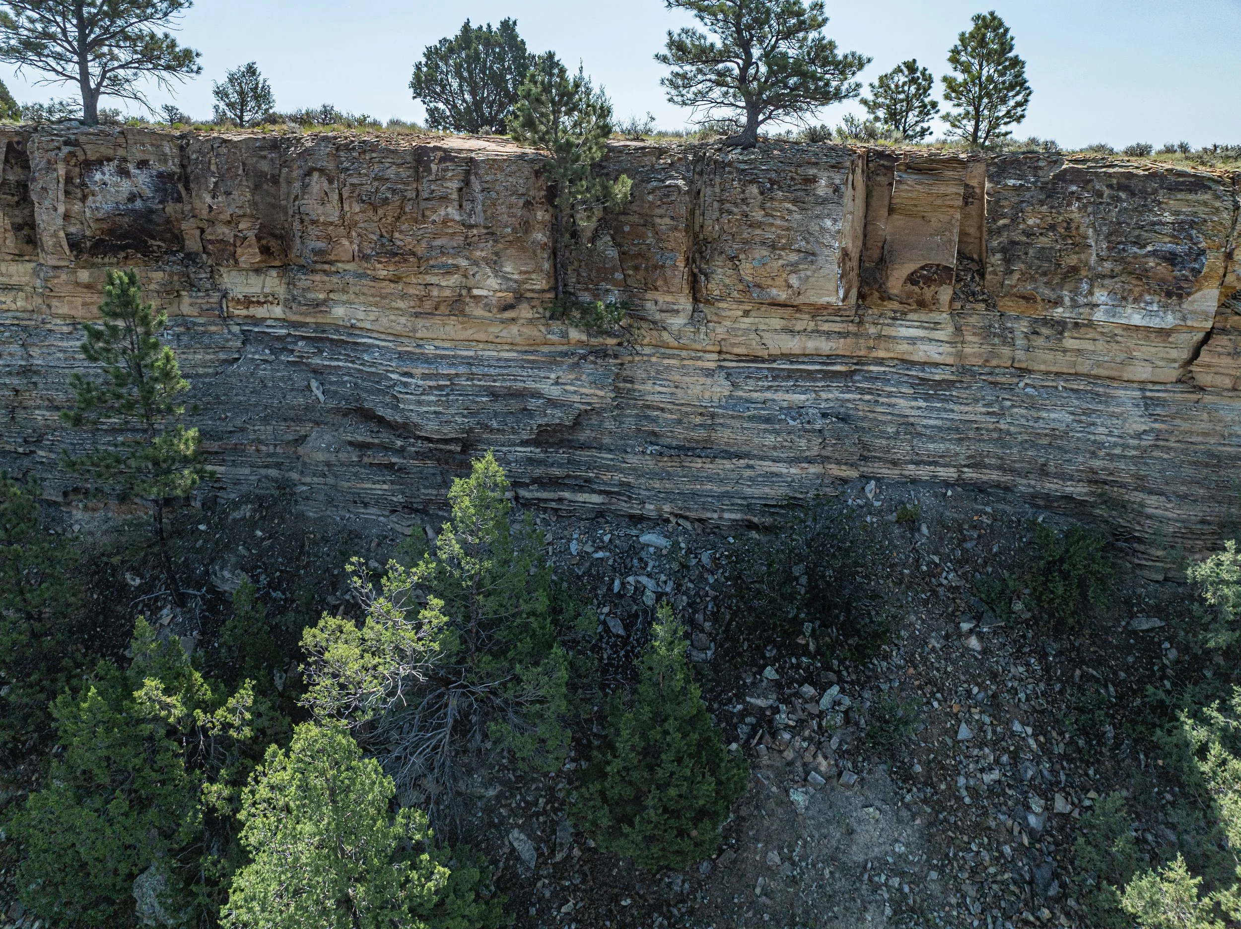
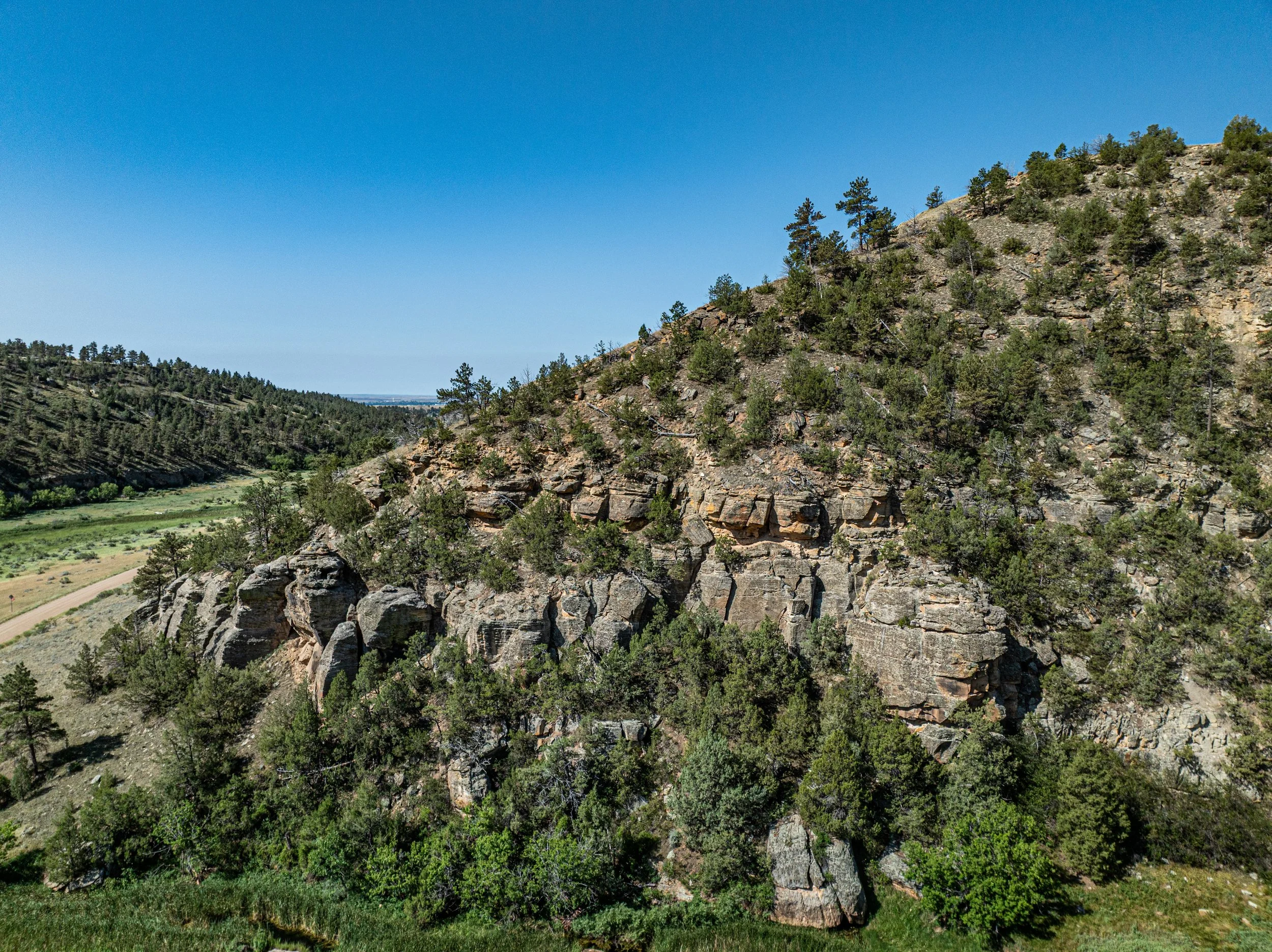
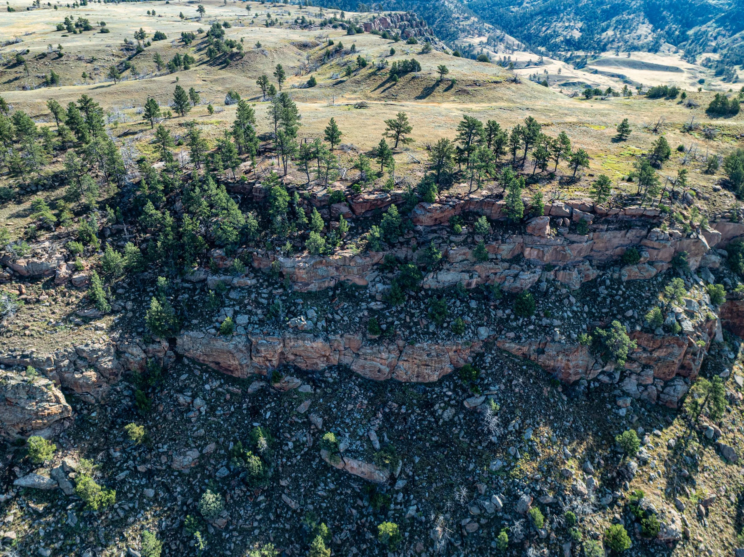
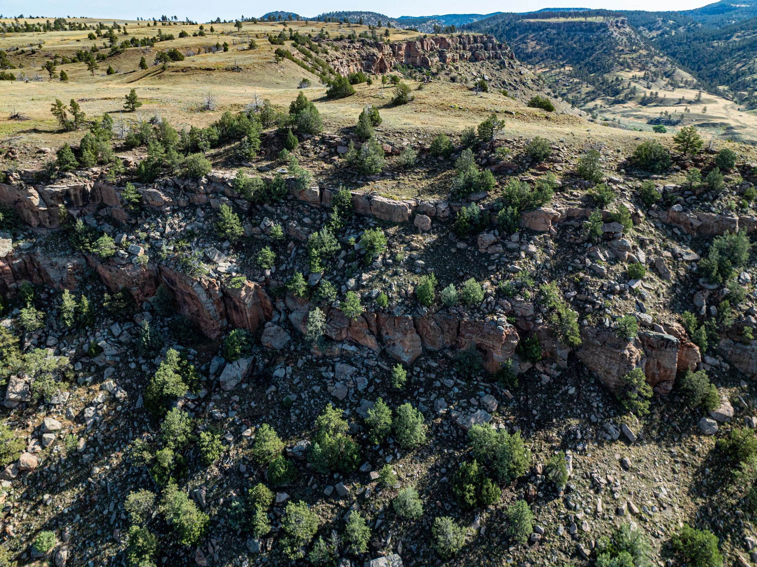
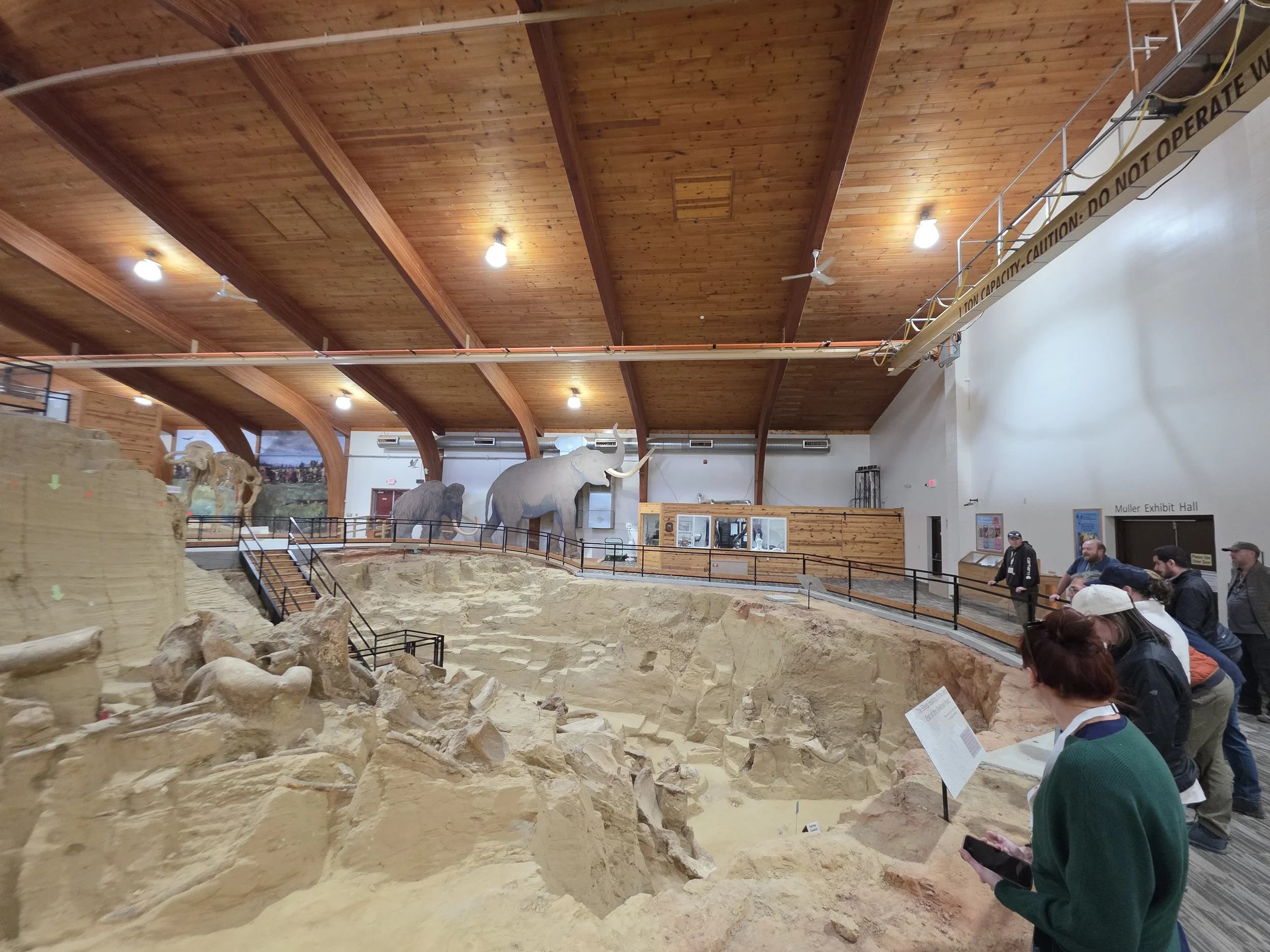
Drone Data, 3D Models, Videos, Photos